Đà Lạt hill station
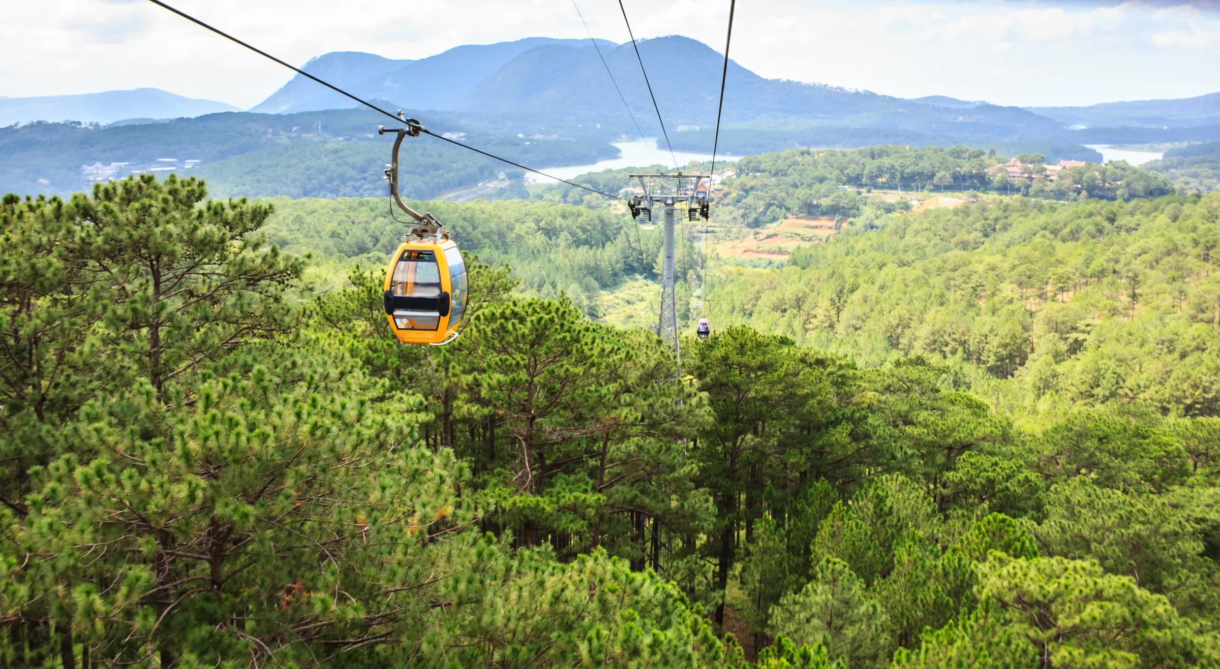
A cool-season gateway ringed by pine forests — morning mist, flower farms, lakes and waterfalls set the rhythm of a highland escape.


Lâm Đồng rises and falls — from the cool mists and flower farms of Đà Lạt on its pine plateau, past the island-studded Tà Đùng lake of the former Đắk Nông highlands, down to the red dunes and fishing harbours of Mũi Né on the former Bình Thuận coast. One province now runs from fog to sand.
Most travellers linger in cool Đà Lạt — the waterfalls, the flower markets, the lake at dusk — but the road down to the dunes, the fishing culture of Phan Thiết and the Kê Gà lighthouse reward the descent. Three days up, three days down is the natural shape of a visit.
A cool-season gateway ringed by pine forests — morning mist, flower farms, lakes and waterfalls set the rhythm of a highland escape.
Twin falls within a short hike of town — jungle trails, swimming pools and mist-wrapped descent into Đà Lạt valley.
The plateau's highest point (~2,200m) — a ~3h hike offering sunrise and panoramic views of the cool highlands.
Vibrant rust-red sand formations at the coast — dawn rides on horseback or on foot, a stark contrast to cool-season highlands.
Dozens of forested islets scattered across a highland reservoir — the 'Hạ Long of the highlands' of the former Đắk Nông, now in Lâm Đồng.
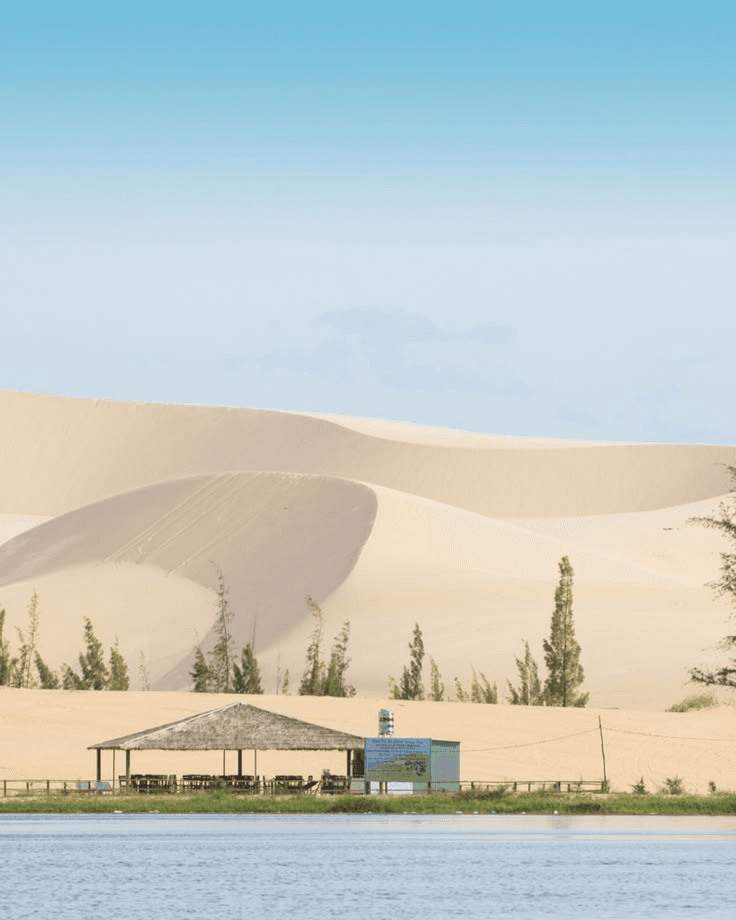
Pale dunes beside a lotus lake inland from Mũi Né — a quieter, starker sand landscape best at first light.
A working port town where boats still land the catch at dawn — harbor walks and the rhythm of a fishing village.
Dâu Đà Lạt (Đà Lạt strawberries)
Cool-climate strawberries grown on the highland farms — eaten fresh at markets or in jam, a taste of the season.
Bánh căn (savory mini pancakes)
Small, warm, puffed pancakes made in special molds — a Phan Thiết specialty, eaten with fish sauce and scallions.
Fresh fish & seafood
Phan Thiết and Mũi Né harbor villages land fish, shrimp and squid daily — grilled simply or in clear broths.
Flower & herb cuisine
Đà Lạt's cool climate fills the markets with artichokes, avocados and edible flowers — artichoke tea is the classic thing to carry home.
關於Lâm Đồng最常見的實用問題與簡短解答。
November to April — cool and dry with clear skies. June to October is rainy and cloudy, though misty mornings are beautiful.
~180km south to Mũi Né, roughly 3–4 hours by road — a dramatic descent from cool highlands to subtropical coast.
Yes — guides offer forest treks combining waterfalls, valleys and cool-season camping; popular with hikers.
Kê Gà lighthouse, built under French rule, stands on a small peninsula south of Phan Thiết — accessible by boat.
如何抵達
Liên Khương airport (~30km south of Đà Lạt) serves the highlands; the coast is reachable by road or the new expressway south to Nha Trang.
當地交通
Rent a car or motorbike for the highland loops and the coast run; trekking in the forests requires a guide.
Day 1–3 — Đà Lạt highlands
Explore the town, hike Datanla and Pongour waterfalls, climb Lang Biang peak for sunrise — misty mornings and cool air.
Day 4 — descent to coast
Drive south through fruit valleys toward the coast — stop at viewpoints and small villages along the way.
Day 5–6 — dunes & fishing
Red dunes at dawn, white dunes by day, Phan Thiết harbor at sunset — fresh seafood and the rhythm of the coast.
Central Đà Lạt
The cool town center — flower markets, cafés, lakeside walks and highland gateway to forest trails.
Datanla valley
Waterfall hikes and jungle walks — the green lung just outside town, best visited in the rainy season.
Mũi Né dunes
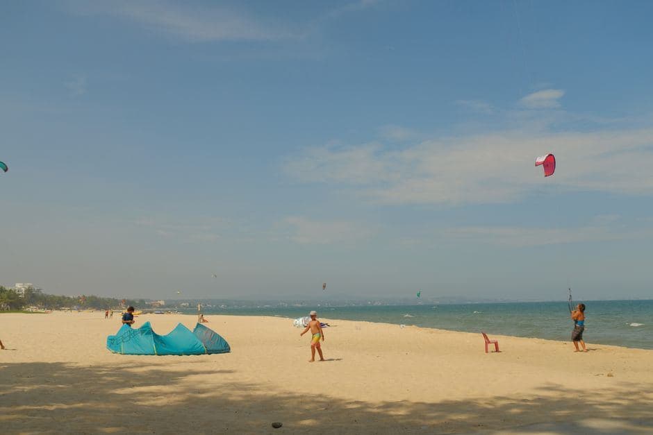
Red and white sand formations — early-morning rides, beach time and fishing village culture at the coast.
Phan Thiết harbor
Working fishing port — morning landings, seafood markets and the authentic pulse of a coastal town.